
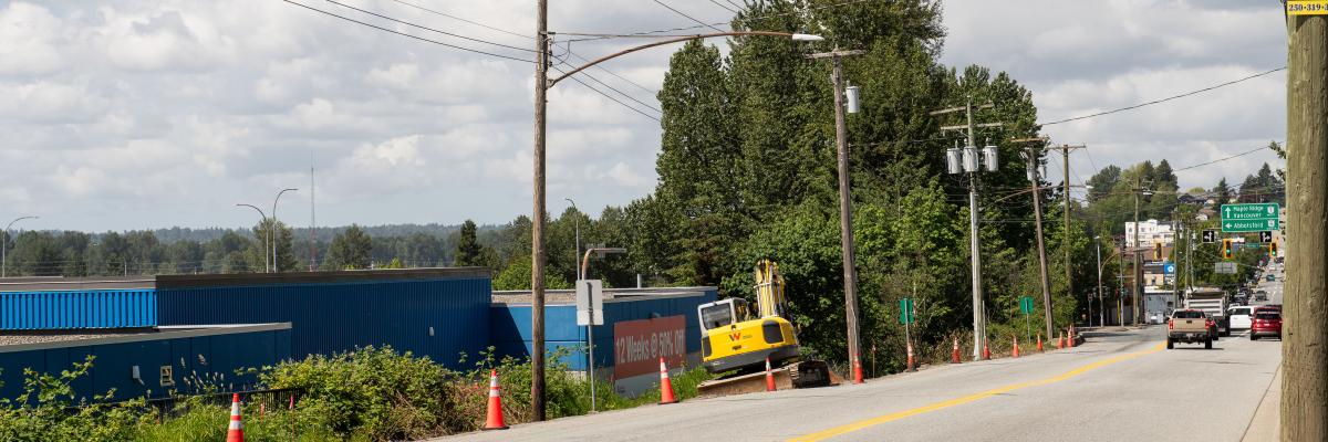
The City of Mission is preparing a Lougheed Highway Corridor Concept Plan (LHCCP) to guide future land use, development, and infrastructure planning along the Lougheed Highway corridor outside of Downtown Mission.
The Lougheed Highway is a critical transportation corridor in Mission, providing connections westward to Metro Vancouver and the Port of Vancouver, and eastward access to the BC interior and beyond. The corridor facilitates the movement of residents and visitors and supports commercial and industrial development through reliable highway access. Given regional market demand, the Lougheed Highway Corridor area also offers valuable opportunities for industrial and commercial land development.
The LHCCP will provide clear policy direction for future development applications and will inform future zoning, Official Community Plan amendments, and other supporting policies. The Strategy focuses on protecting and supporting employment-generating commercial and industrial uses while identifying opportunities for long-term growth and investment.
Visit the project page on mission.ca to follow along with the project and for the latest updates.
The map below shows the boundary for the LHCCP.
Note: The Downtown area is excluded from this study.

Add new comment